Introduction to Geospatial Technology in Utilities
Geospatial technology refers to the collection, analysis, and visualization of geographic data through various tools and techniques, with a significant focus on Geographic Information Systems (GIS). In the context of utility companies, this technology facilitates superior planning, operational efficiency, and enhanced decision-making processes. By integrating geospatial tools, utilities can effectively manage their resources, optimize service delivery, and respond to the dynamic demands of their service areas.
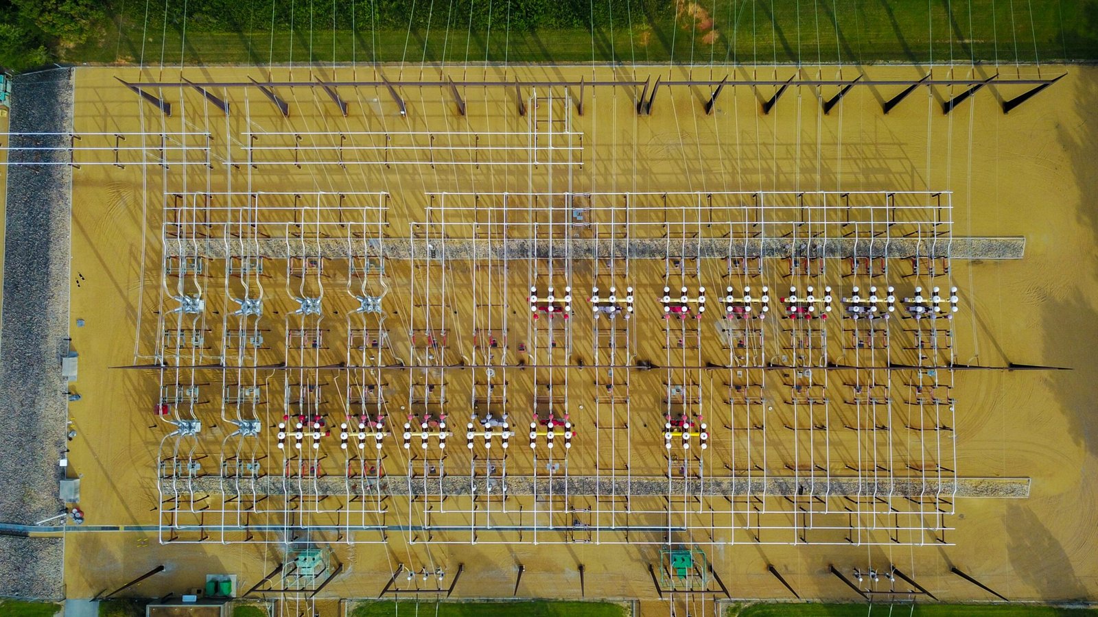
The relevance of geospatial technology in utilities cannot be understated. A variety of mapping technologies and applications have emerged, allowing utility companies to create detailed spatial representations of their assets and service networks. These digital maps provide insights into the geographical context of utility infrastructure, helping companies visualize and analyze their operations more effectively. For instance, GIS enables utilities to track the location of pipes, wires, and other essential components, thereby improving maintenance schedules and reducing response times to outages.
Furthermore, the integration of data visualization tools plays a critical role in geospatial technology. These tools allow utility companies to present large datasets in a user-friendly format, making it easier to identify trends, analyze patterns, and make informed decisions. The ability to display energy consumption, water distribution, and telecommunications data geographically enhances situational awareness and supports better planning for future expansions or upgrades.
As utility companies increasingly recognize the value of geospatial technology, they are adopting these innovations to stay competitive and meet regulatory demands. The ongoing evolution of this technology continues to transform how utilities operate, paving the way for improved resource management and customer satisfaction. Understanding these foundational concepts is crucial for exploring the specific trends and benefits identified in recent surveys that illustrate the significant impact of geospatial technology on the utility sector.
Current Trends in Geospatial Technology for Utility Companies
In recent years, utility companies have increasingly adopted geospatial technology, recognizing its potential to enhance operational efficiency and customer satisfaction. One of the most noteworthy trends is the rise of cloud-based Geographic Information Systems (GIS). This shift allows utility companies to store, analyze, and share geospatial data more efficiently. Cloud-based solutions facilitate real-time collaboration among teams, enabling utilities to respond swiftly to service outages and infrastructure maintenance needs. Furthermore, they reduce the need for expensive hardware, thus lowering operational costs.
The integration of artificial intelligence (AI) and machine learning into geospatial technologies is another prominent trend impacting utility companies. By employing predictive analytics, utility firms can forecast demand patterns, optimize resource allocation, and identify potential service disruptions before they occur. For example, a utility company implementing machine learning algorithms has successfully predicted peak usage times, leading to improved load management and enhanced service reliability. Such advancements exemplify how these technologies enhance decision-making processes, driving better outcomes for both utilities and their customers.
Additionally, the significance of real-time data collection continues to grow in geospatial technology. Utilities are increasingly investing in Internet of Things (IoT) devices that gather data from various points across their networks. This influx of real-time information enables utility managers to monitor infrastructure performance, detect anomalies, and react to changing circumstances more proactively. A case study involving a utility that deployed smart meters illustrates this point; the immediate access to consumption data enabled the company to enhance energy efficiency programs and respond more effectively to customer inquiries.
In summary, the current trends in geospatial technology for utility companies highlight a significant transformation within the industry, powered by cloud solutions, AI-driven analytics, and real-time data capabilities. These innovations are not only improving operational efficiencies but are also elevating customer experiences, marking a critical shift in how utilities operate in an increasingly complex environment.
Challenges and Limitations in Implementing Geospatial Technology
The integration of geospatial technology within utility companies presents several challenges and limitations that can hinder its successful implementation. A primary concern is the issue of data privacy and security. As organizations gather extensive geospatial data, there is an increased risk of data breaches and unauthorized access. Utility companies must navigate stringent regulations and industry standards designed to protect sensitive information, which can complicate the adoption of advanced geospatial technologies.
Another significant barrier is the high costs associated with technology adoption. Investing in sophisticated geospatial tools and systems can demand considerable financial resources, which may prove challenging, especially for smaller utility providers. The return on investment may not be immediately apparent, leading to skepticism among stakeholders regarding the financial viability of such undertakings. In addition, costs extend beyond hardware and software expenses to include ongoing maintenance and updates, further straining budgets.
The successful deployment of geospatial technology also requires highly skilled personnel adept at managing and interpreting complex datasets. The demand for specialized training and expertise may exceed the available workforce, leading to difficulties in finding qualified candidates. Existing staff may require substantial education to fully utilize these technologies, creating additional training costs and time commitments.
Moreover, organizations may face resistance to change from employees who are accustomed to traditional methods. This cultural inertia can impede the adoption of innovative practices. To address these challenges, utility companies must foster an organizational culture that embraces innovation and change, emphasizing the benefits of adopting geospatial technology. Implementing effective communication strategies, engaging staff in decision-making processes, and providing comprehensive training can mitigate resistance and enhance overall project success.
The Future of Geospatial Technology in the Utilities Sector
As we contemplate the future of geospatial technology within the utilities sector, it becomes evident that several emerging technologies are poised to revolutionize the way utilities operate. Among these, augmented reality (AR) and the Internet of Things (IoT) stand out as frontrunners. AR can provide utility workers with enhanced visualizations of underground infrastructure, enabling safer and more efficient maintenance procedures. By overlaying real-time data onto the physical environment, AR has the potential to significantly reduce operational downtime and improve decision-making capabilities.
In parallel, the integration of IoT devices is transforming data collection and analysis. These devices facilitate continuous monitoring of utility infrastructure, leading to the development of smarter systems capable of predictive maintenance. This shift from reactive to proactive approaches can mitigate service disruptions, lower operational costs, and optimize resource allocation. Coupling IoT with geospatial technology allows utilities to gain valuable insights into potential risks and enhance their overall service delivery.
Moreover, the role of geospatial technology extends beyond operational efficiency. It is increasingly becoming integral to sustainability initiatives. With growing attention on climate resilience, utilities can leverage geospatial data to assess environmental impacts and support regulatory compliance. By utilizing geographic information systems (GIS), utility providers can visualize data related to energy usage, assess vulnerability to climate-related events, and develop targeted strategies for emissions reductions. This not only meets regulatory standards but also aligns with the global push towards a more sustainable future.
In conclusion, the future of geospatial technology in the utilities sector is bright, filled with opportunities for enhanced service delivery and operational efficiency. By adopting emerging technologies such as AR and IoT, and by continuing to focus on sustainability and regulatory compliance, utilities can stay ahead in a rapidly evolving landscape. Regularly updating knowledge and practices in line with these trends is essential for remaining competitive and ensuring effective management of resources.